Remote Sensing
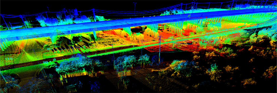
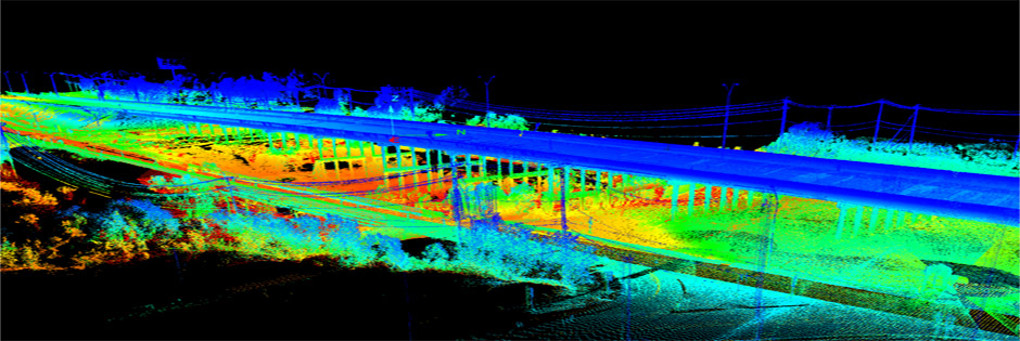
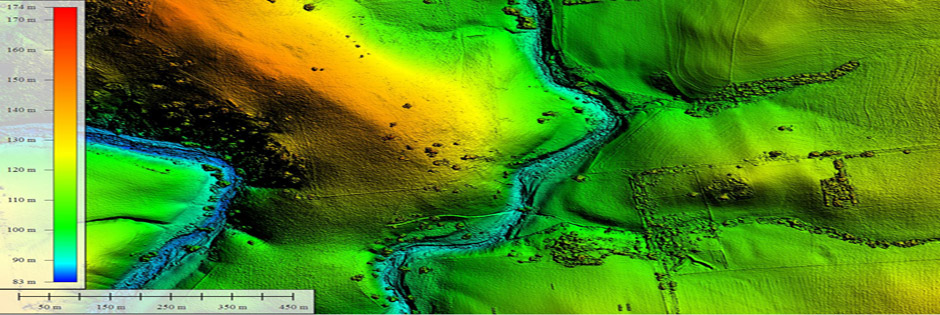
ISG Offers a wide range of services using remote sensing and GIS techniques. Our team extracts meaningful information from different types of Imagery to provide services according to the user requirement.
- Industries Served
- Telecom
- Environmental (supporting impact assessment)
- Mapping
- Forestry
- Agriculture
- Urban Planning
- Processing
- Image co-registration
- Feature extraction
- Feature measurement
- Image classification
- Target/species detection
- Bio-statistics
- Vegetation and crop health analysis
- 3-D scene construction and visualization
- Value-added services


