Our Services
LiDAR
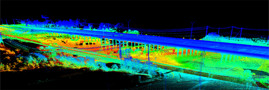
ISG has experience in processing thousands of electric transmission and distribution line miles for customers. We are experienced in processing airborne, mobile and terrestrial-based LiDAR data. Our capabilities include:
- Processing
- Point Cloud
- Bare Earth
- Feature Extraction (planimetrics, land cover, volumes)
- Breakline supplementation and cross sections
- LiDAR grammetry
- Contours (ASPRS, NMAS, NSSDA)
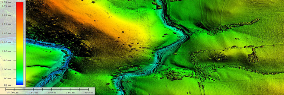
- Digital Surface Model, Digital Terrain Model, Digital Elevation Model
- obstruction clearance models
- 3D visualizations & fly-throughs
In Past 5 years we have worked mainly on the :-
- Electric Transmission
- Electric Substation -
- Electric Distribution -
- Telecom -
- County/Wide Area -
- Photogrammetry - Water pipeline project, building footprints, DTM creation/editing
- Ortho -
- Transportation -
Photogrammetry
With best-in-class photogrammetry software and techniques, ISG provides complete 3-D stereo compilation services with capacity for very large & complex projects. Our capabilities includes:
- Airborne GPS / IMU processing
- Fully Analytic Aerotriangulation (FAAT)
- High resolution 9x9 film scanning (roll and cut film)
- Stereo compilation
- Softcopy
- 2-D / 3-D feature extraction
- Change detection
- Map Updating
- Planimetric Mapping
- Roads, buildings, water bodies and other visual features
- Infrastructure mapping
- 2-D, 3-D vectors
- Feature coding
- Topographic Mapping
- Design engineering accuracy
- DEM/DTM generation
- Autocorrelation
- Volume Calculations
- Cross Sections
- Plan & profile sheets
- ROW mapping
- Digital Orthophotography
- High resolution
- Tone match/color balance/mosaic
- Update mapping
- 2nd generation
- Digital Terrain Modeling
- Data Review & Quality Assurance
- All vector and image format types supported
Remote Sensing
ISG Offers a wide range of services using remote sensing and GIS techniques. Our team extracts meaningful information from different types of Imagery to provide services according to the user requirement.
- Industries Served
- Telecom
- Environmental (supporting impact assessment)
- Mapping
- Forestry
- Agriculture
- Livelihood Development
- Modeling data product
- Value added services
- Processing
- Image co-registration
- Feature extraction
- Feature measurement
- Image classification
- Target/species detection
- Bio-statistics
- Vegetation and crop health analysis
- 3-D scene construction and visualization
GIS
Our capabilities support the following solutions:
- Urban Mapping Solutions
- Utility Information Systems
- Land Information Services
- Topographic Mapping and Surface Modeling
- Land Cadastral Mapping
- Forestry Mapping
- Geological Mapping
- Our capabilities include
- Data Conversion (scan, digitize, attribute)
- Application Development
- Implementation
- System Design
- Data Analysis and interpretation
- Vector Conflation
- Vector Alignment
- Database Design
- CAD/GIS translation
Special Projects
ISG prides itself on being flexible and adaptable. Our drive and motivation is centered upon your success. If there are other technologies and services you are seeking, ISG is well connected all over the globe and can assist in delivering a solution to nearly and geospatial requirement. Give us a try and let’s discuss your needs.


